Welcome to Virtual Santa Cruz!
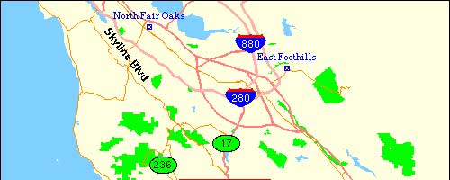
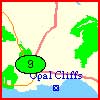
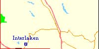
You can view pictures in and around Santa Cruz, Ca, by using the following pages. Clicking within any red square will display a more detailed map of that area. If the map contains a red dot then clicking on it will display pictures taken from that part of Santa Cruz. Arrows indicate the general direction that a picture was taken. Clicking on either of the two dots, in the following map, will display aerial photos of Santa Cruz County.